The center of Ussuriysk is the area of the intersection of Nekrasov - October - Pushkin, and Lenin. In this square is located the Office of the city administration and the city's Central Square. But before the city center was the district, Kalinina street, which housed a shopping arcade and the building trade house "Kunst and Albers", the first Bank. In 1937, at the Institute Rosgiproles developing the scheme of the General plan of the city, which was reviewed and approved by the regional and territorial Executive committees of Soviets of people's deputies. In this scheme, it was proposed to create a new cultural and administrative center of the city. It was located on the street Nekrasov, which was treated as the main street of the city.
For new companies was allotted the territory located toward the South on the way Ussuriysk - Vladivostok over the river Suputinsky to the North - West at Novo - Nikolsky highway and the floodplain of the river Rakovka to the North of the railway junction. The greatest development was the South industrial node. There was the construction of a sugar factory and houses for workers, began the formation of a residential area on the hill Hanina.
Square. On the street Nekrasov Central square of the city. But as already mentioned, the city center was not always this area, so the Central area was the space between the streets of Kalinin and Lenin. It was a place of meetings and festive celebrations and it was there, in the eve of new year holidays, installed a large tree and were constructed children's Playground with a skating rink and slides.
The building of the railway station is station square.
The neighborhoods of the city. In the city, there is no accurate division into districts. In connection with the historical development of the city can be found such names as: Northern town Sugar town, district of the four winds, Fifth kilometer, Sunrise, Rivers.
The oldest neighborhoods can be considered the Central and district railway settlement. In the project, the city railway is divided into three parts by two boulevards. Each of these parts was the planning unit and had its own community center - the area with the temple on it. The city center was located in the middle part. It was planned a system of areas: the Cathedral with the largest Cathedral in it, the theatre, the Bazaar, was provided to the city garden.
Planning axis the whole of this structure was the main street – Boulevard - Chicagoscala (now thieves). It was strung open spaces. Boulevard United all three "neighborhood". The main dominant of the city was to serve the Cathedral in the Central Square, it was supported by churches of two adjacent areas, they had given a subordinate role. Central Cathedral square was to form buildings of administrative agencies: City Council, Police Department, and others. Needless to say, the location of the main square and the Cathedral was thought out and from the perspective of the advantageous position in the landscape situation: the Cathedral was placed on the active edge of the relief, which was surrounded by gentle slopes to the side of the square. The street going to the square, as if ran to it from three sides. The fourth side of the Cathedral must have been perceived from the bottom to the elevation of the terrain.
The entire urban area on the West adjacent to the railway. Residential areas were separated from the railway territories of another main street Boulevard, which was to serve as a transit trunk - Romanovskaya street (now Avenue Blucher).
With 1907 begins a rapid development of capitalism in Russia and Primorye. After the loss of possessions on the Kwantung Peninsula, the tsarist government began to pay attention to the development of the port of Vladivostok and Nikolsk - Ussuri center for trade and processing of agricultural products and a major transport hub
On the outskirts of the city, there are many new industrial and processing enterprises, built the first power plant, expanding railway workshops.
At this time, the city expanded again. On the Right Bank of the river Rakovka familiar territory up to Ilyushkinoy hills. Dramatically increases the number of built blocks in the railway area called Slobodka.
The area of Mesopotamia is so called because it lies between two rivers - Rakovka and Komarovka. And the town got its name from the North of the settlement that once stood there. District Seven winds is an open area available to all the winds. The fifth kilometer - distance from the city center five kilometers. In the area of the village is a Sugar factory named after Kalinin in the production of sugar, hence the name of the district.
Unrecognizably changed the appearance of the city of Ussuriysk in the last ten years. Cottages in original architectural design adorned the outskirts of the city. In the Chernyakhovsk neighborhood on the hill near the lake, once just the pit, increased the number of cottages on the street Lilac and Apricot.
Two years ago, has changed its status and became the so-called street Mineral village Sunrise.
In the toponymy of the city of Ussuriysk, there are basic methods of nomination and especially education. The first name reflected the physical-geographical features of the area: St. Suputinsky (now Weis), high-rise building, Upper lane, St. Far, St. Gentle, street West, street Cool, meadow, Forest St, Luhansk lane, Mineral street, street, street quay, Lower lane, lake street, St. Roundabout.
Most of the place names formed from proper names, Anthopoulos, hydrocodone now, etc. Among the name derived from Anthopoulos, the first thing to keep in mind those that are given names and names of prominent figures of the revolution and the Soviet state - Dzerzhinsky street, Banavara, Volodarskogo, vostretsova, Kotovsk, Kirov, Frunze, Kuibyshev, Lenin, Kalinin Prospekt Blyukhera; outstanding representatives of Russian science and culture, Gorky street, Nekrasov, Yesenin, Korolenko, Krylov, Lermontov, Mayakovsky Michurin, Pushkin, Tolstoy, Turgenev, Tchaikovsky, Chaadaev, Fadeev. In the city of Ussuriysk there are so many names formed from existing toponyms - lane University and travel the University - from the street of Lomonosov, street Leningrad, from street Leningrad, driveways Muraveva 1,2,3,4 - from street Muraveva, street Popova - street Popova, driveways 1,2,3,4,5,6 Sapper - a Sapper from the street.
Some objects got their names because next to them or nearby river, pond, lake, field, etc. - lane Coast street Vygonnaya street Oak Grove, street Zarechnaja, street, alley waterfront.
Ways of formation of the Ussuri names. Since most of the toponyms in the Russian language are formed by means of suffixes, and in the Ussuri toponymy is widely used in the composition of names the suffix – SK. Street proletarian, Komsomol Amur, Anuchinsky traveler, Artemovsk Aya, Borisov, Borodin sky, Soviet, Volochaevskaya, and the sheep of Skye, Barabashevka, Blagovest Skye, dobropil's'kyi, setting reset Aya, Leningrad, Kazan, Krest'yansk traveler, pioneer. Very productive derivational model in the Ussuri toponymy is the form of the genitive of a noun - Pro SPECT Blucher, street Pestelya street Kochubey, Shchorsa, Yesenin, Ladygina, Nakhimov, Pinegina.
The second method of formation of the Ussuri names - lexical - semantic. This is one of the oldest ways of education of geographical names, the essence of which is the transfer of names from one object to the other - street Station, St. beacon, St mine.
Under the influence of forms of type – Komsomol, proletarian, Soviet - there are versions of the name in spoken language - Pushkin street – Pushkinska, St. Nekrasov – Nekrasov, Lenin's street – Lenin.
More details
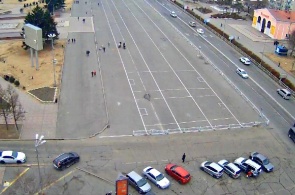
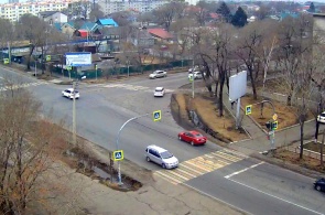
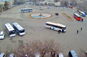
A web camera transmits real-time Central square on Nekrasova street in the city of Ussuriysk Primorsky Krai.
Ussuriysk, Russia
21.04.19
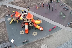
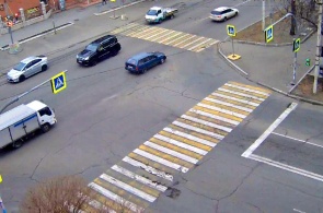
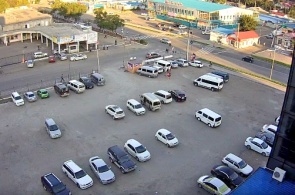
A web camera transmits in real time the street Stakhanov in the town of Ussuriysk Primorsky Krai.
Ussuriysk, Russia
21.04.19
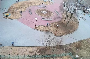
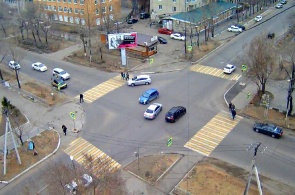
A web camera transmits real-time Park on the street Stakhanov in the town of Ussuriysk Primorsky Krai.
Ussuriysk, Russia
21.04.19
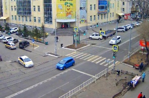
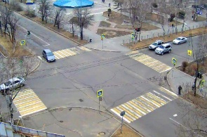
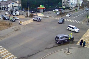
A web camera transmits in real-time the intersection of Nekrasov and proletarian in the city of Ussuriysk Primorsky Krai.
Ussuriysk, Russia
16.04.19
A web camera transmits in real-time the intersection of Nekrasov and Komarova in the city of Ussuriysk Primorsky Krai.
Ussuriysk, Russia
16.04.19
A web camera transmits in real-time the intersection of Nekrasov and Ageeva in the city of Ussuriysk Primorsky Krai.
Ussuriysk, Russia
16.04.19
A web camera transmits in real time a crossroads of streets Komsomol and Sovetskaia the city of Ussuriysk Primorsky Krai.
Ussuriysk, Russia
14.04.19
A web camera transmits in real-time the intersection of ulitsa Lenina and ulitsa Sukhanova in the city of Ussuriysk Primorsky Krai.
Ussuriysk, Russia
14.04.19
A web camera transmits in real-time the intersection of Plekhanov and Gorky in the city of Ussuriysk Primorsky Krai.
Ussuriysk, Russia
14.04.19
A web camera transmits in real-time the intersection of the Vladivostok highway and street Krylova in the city of Ussuriysk Primorsky Krai.
Ussuriysk, Russia
13.04.19
A web camera transmits in real-time the intersection of Nekrasov – Chicherina in the city of Ussuriysk Primorsky Krai.
Ussuriysk, Russia
13.04.19
A web camera transmits in real-time the intersection of Nekrasov – Pushkin in the city of Ussuriysk Primorsky Krai.
Ussuriysk, Russia
13.04.19
Webcam broadcasts in real-time the intersection of Nekrasov - the Komsomol in the city of Ussuriysk in Primorsky Krai
Ussuriysk, Russia
06.04.19
Web Cam broadcast Station Square in the city of Ussuriysk, Primorsky Krai. Ussuriysk is one of the main cities of the Primorsk territory, the second in importance and population of the regional city after Vladivostok.
Ussuriysk, Russia
06.04.19
popular camerasshow all
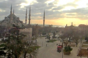
Sultanahmet or Blue mosque is a work of art of Turkish-Islamic architecture. Its construction began in 1609, the construction work took seven years to a 19-year-old Sultan. The name of the mosque was, due to its interesting and unique finish.
Istanbul, Turkey
08.02.14
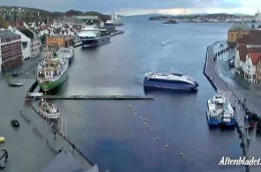
Stavanger, a town in the commune of Norway, located in the South-Western part of the country, on the Peninsula, rich in minerals. Tanager combines the influence of foreign organisations such as NATO and oil companies. The camera will shoot the harbour and the promenade of the city.
Stavanger, Norway
03.11.13
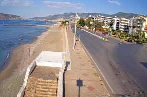
A webcam broadcasts the district of Tosmur - quiet location in the Eastern part of Alanya, located only five kilometres from the city centre. Its rural way of life and the beauty of untouched nature attract tourists.
Alanya, Turkey
10.11.18
Shark Island or in English of Shark island, located in the harbour city of Sydney, the suburb of Point Piper. The locals, the natives named the island Boambilly, which translated means Shark island. After all, this name is not casual, because it's mean and looks like a shark fin.
Sydney, Australia
31.10.13
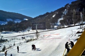
The webcam is installed on site Alva. Tsaghkadzor ski resort town in Armenia. Tsaghkadzor is a beautiful mountainous area among deciduous forests, with a pleasant winter climate, and clean fresh air. The highest point is 1800 meters. The truss type is a classic, divided into three.
Tsakhkadzor, Armenia
18.01.14

